Description
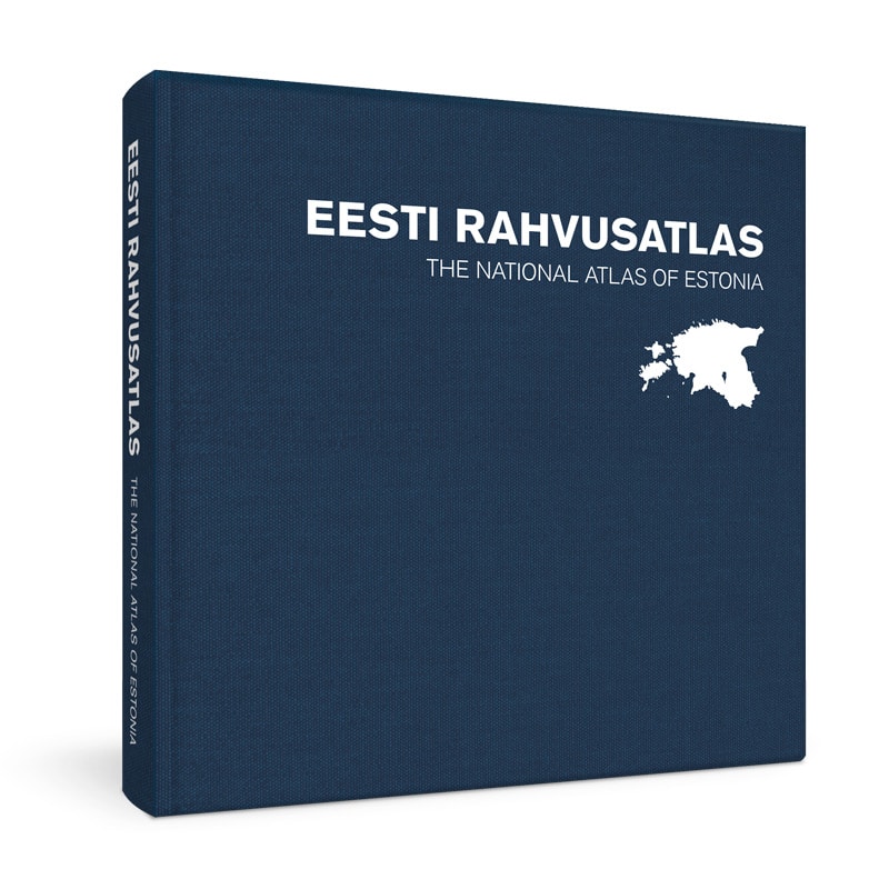
The first National Atlas of Estonia has been published! It contains nearly 500 historical and contemporary maps, along with fascinating explanations that help to give meaning to Estonian nature, culture and history. The atlas opens with a map of Estonia featuring the signature of General Johan Laidoner. This map marks the birth of the Republic of Estonia and was used to show the location and borders of the young republic to the world in 1920. Next to traditional thematic maps, the atlas also presents several intriguing maps from the history of Estonian cartography.
The National Atlas of Estonia was born out of cooperation between geographers from the University of Tartu and map makers from Regio. For historical maps we are grateful to our predecessors from earlier centuries.
The National Atlas of Estonia is dedicated to the 100th anniversary of Estonia´s national university and the founding of the study of Estonian language geography.


